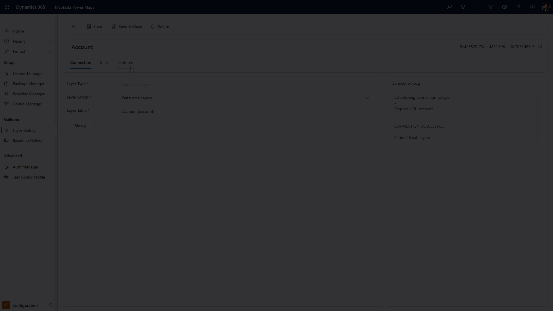
Layer Details
The Layer Details view, located in the Features tab of your layer and sublayers, provides the core configuration options for each layer - allowing you to set the layer name, description, filtering rules, and performance settings.
All of these configuration options also apply to any sub-layer. When working with hierarchical layers, open the specific sub-layer to tailor its own name, description, filters, and performance independently of the parent.
Basic Layer Configuration
Details Section
Configure the fundamental properties of your layer:
- Sub Layer Name: Set a custom name for this layer that will be displayed to users
- Sub Layer Description: Provide a description that explains what this layer represents and its purpose
Layer Filtering
Layer filtering lets you control which features are visible on a map layer, using variables from the page or user context.
You can apply filtering at several levels:
| Level | Description |
|---|---|
| Layer Gallery | Configure filtering in the Features tab when creating or editing a layer. |
| Config Profile | Manage filtering under the PreLoaded Layers tab for a specific layer in a config profile. |
| Layer Panel | After the map loads, use the "Filter Layer" option in the Layers panel for a specific layer. |
Layer Gallery Filtering
To add or edit a filter for a layer in the Layer Gallery, follow these steps:
-
Open the Maptaskr Power Maps admin application and go to the Layer Gallery in the configuration section.
-
Click to edit an existing layer, or create a new one.
-
Go to the Features tab.
-
Select the layer you want to add a filter to.
-
In the Layer Features section, find the Filters area.
-
Choose the field you want to filter by. This field comes from the available attributes (see the Layer Attributes tab to confirm which are available).
-
Select the comparison type: Equals or Not equals.
-
Enter the value to compare against. This value can be hardcoded or dynamic (e.g.,
{{filter_value}}). -
If you want to filter by multiple criteria, choose whether all conditions must match (Match All) or any condition can match (Match Any).
In the following example, the assets layer is filtered so that only the asset with an ID matching the one the user is currently viewing is displayed. This ensures users see relevant information specific to the selected asset.
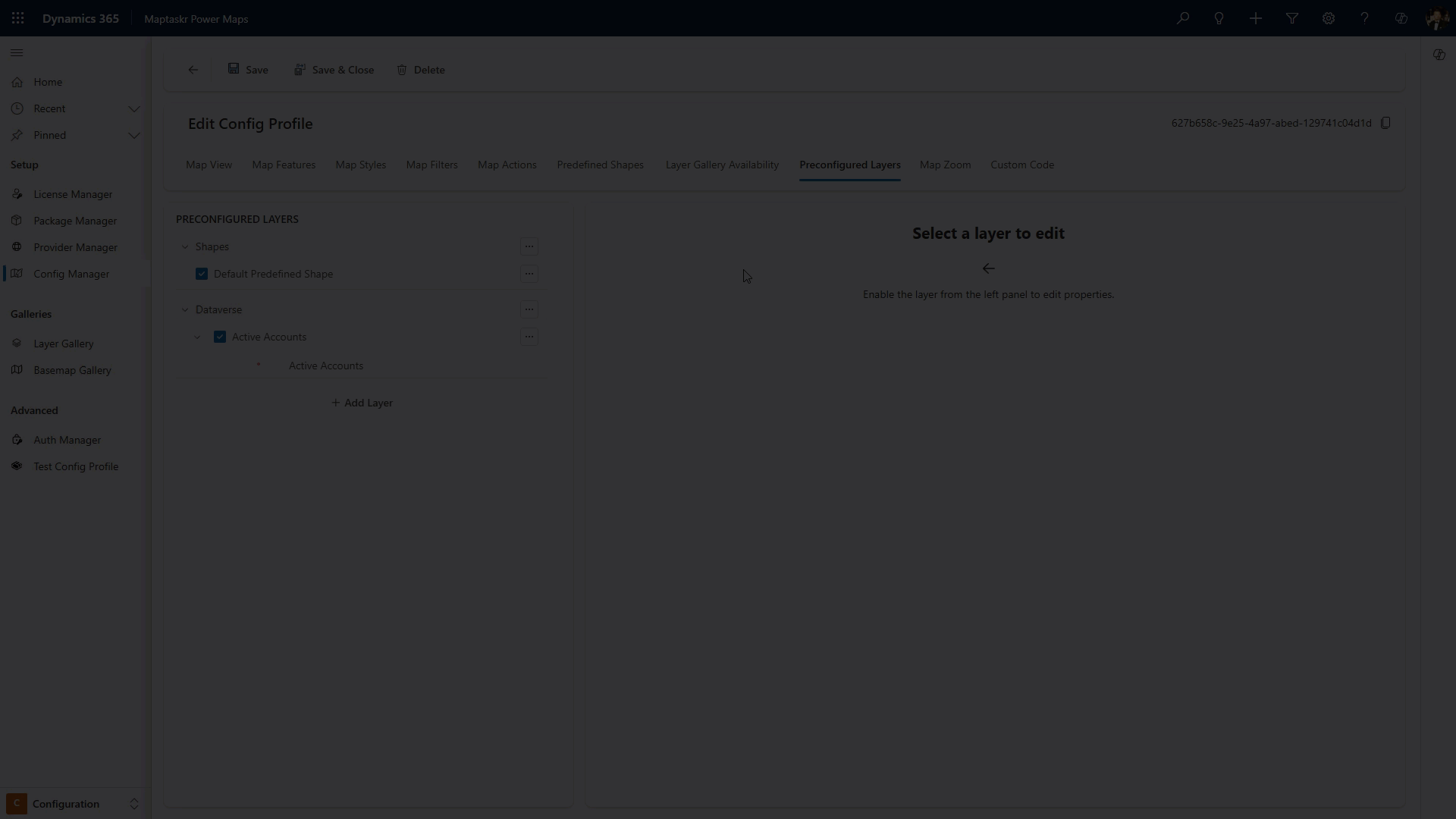
Config Profile Layer Filtering
To add or edit a filter for a layer within a Config Profile, use this method to apply filtering only to specific profiles. This approach allows the same layer to be reused across multiple configurations without affecting the original layer or other profiles.
Follow these steps:
-
Open the Maptaskr Power Maps admin application and go to the Config Manager in the configuration section.
-
Select or create a Config Profile.
-
Select Preloaded Layers.
-
Add a layer from the Layer Gallery.
-
Select the option menu against a layer and select configure.
-
Choose the field you want to filter by. This field comes from the available attributes.
-
Select the comparison type: Equals or Not equals.
-
Enter the value to compare against. This value can be hardcoded or dynamic (e.g.,
{{filter_value}}). -
If you want to filter by multiple criteria, choose whether all conditions must match (Match All) or any condition can match (Match Any).
In the following example, two layers are filtered for a more focused user experience:
- The Site layer is filtered so that only the site with an ID matching the one the user is currently viewing is displayed.
- The Assets layer is filtered to show only assets related to that site (i.e., where the asset's site ID matches the selected site's ID).
This approach ensures users see only the relevant site and its associated assets based on their current context.
Layer Performance
Configure performance settings to optimize layer rendering and data handling:
Performance Settings
| Setting | Description | Options |
|---|---|---|
| Maximum number of features per tile | Controls how many features are loaded in each map tile to optimize performance | Enter a numeric value (e.g., 1000). |
| Sampling Strategy | Determines how features are selected when the maximum per tile is reached | Select from dropdown options like "Smattering". |
| Simplification Enabled | Reduces the complexity of geometry to improve rendering performance | Checkbox to enable/disable. |
| Force Get Requests | Forces the use of GET requests instead of POST for data retrieval | Checkbox to enable/disable. |
| Client-side Reprojection | Enables coordinate system transformation on the client side | Checkbox to enable/disable. |
Client-side reprojection is for visualization only. Not all reprojections are supported. Please see documentation for supported projections.
Layer Extent
The Layer extent is utilized by the tile renderer to determine what tile to load when panning and zooming around the map. If you ever encounter a layer that:
- Allows you to load the layer.
- You can view the "All Data" from the layer tab.
- You can select a feature from the data tab and it selects it, and highlights it.
- BUT it still doesn't render - It is likely an extent issue.
Layer Extent Calculation
Layer extents can be calculated in a few ways.
| Layer Calculation | What does it do? |
|---|---|
| Auto | This is the most efficient, and most complex check. This will: Check to see if the layer returned a 4326 Extent (and use that), otherwise it will query the server to tell us the correct 4326 extent (and use that), next it will convert the returned extent client side (and use that) and failing all this will return a world extent. |
| World | Uses the World Extent (-179.99999, -85, 179.99999, 85 ) to ensure tiles load everywhere. |
Below are the options we provide to ensure you can still view your layer and retain an efficient map.
| Setting | Description | Options |
|---|---|---|
| Layer Extent Calculation | Determines which calculation to use when loading the layer. | Value can be Auto or World. |
| Disable Initial Extent Calculation | Disabling the Initial Extent check will force the layer to use the response extent - reprojected to WGS84 (EPSG 4326) or the world extent if no response extent is provided. | Check this to disable server side checking during the layer initialization. |
| Disable Filtered Extent Calculation | Disabling the Filtered Extent check will prevent the querying of a layer to return the extent based on filtered features, and instead return the same initial extent returned by the layer. | Check this to disable server side querying during "Zoom To..." calculations for filtered layers. |